Section 1
Fort Stevens to Oswald state Park.
~ 37 miles
Section 2
Oswald State Park to Garibaldi, OR
~ 40 Miles
There are some journeys that are measured in miles, and others that are measured in moments.
In September of 2024, we set out to experience the Oregon Coast Trail—a route that follows the length of Oregon’s coastline, moving between sandy beaches, dense coastal forests, rugged headlands, small coastal communities, and some of the most beautiful views in the Pacific Northwest.
The complete trail is roughly 425 miles from the Columbia River on the North, to the California border on the South.
WE STARTED OUR JOURNEY ON SEPTEMBER 6TH 2024. THIS WAS THE LONGEST HIKE I HAD DONE TO DATE, AND WAS ALMOST A YEAR IN PLANNING. WE STARTED OUT BY GETTING INTO FORT STEVENS STATE PARK AROUND 1900 HOURS. AS WE WERE CHECKING IN, THERE WAS A HERD OF ELK AT THE MAIN OFFICES. WE GOT A GOOD NIGHTS SLEEP, THE LAST FOR A WHILE, AND HEADED OUT THE NEXT MORNING FOR SEASIDE, OREGON.
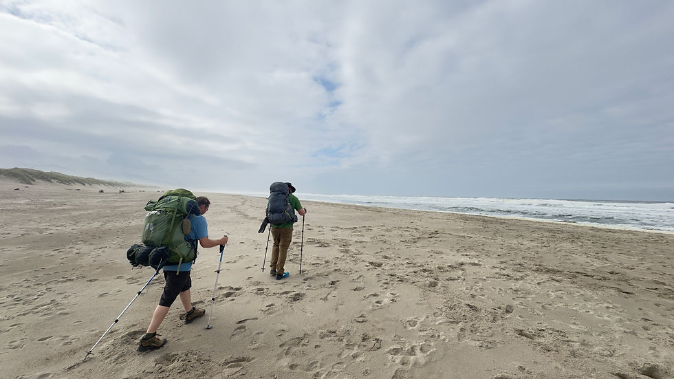
THE HIKE FROM FORT STEVENS TO SEASIDE WAS A FAIRLY STRAIGHT WALK, JUST KEEP THE OCEAN ON THE RIGHT, AND THE DUNES, GRASS ON THE LEFT. WITH THE FOG AND OVERCAST CONDITIONS, IT WAS THE SAME SIGHT FOR ALMOST 16 MILES. WE DID STOP TO TAKE SOME BREAKS ON DRIFTWOOD - LITTLE DID WE KNOW THAT ONE OF THE OTHER HIKERS WE SAW SLEEPING ON THE BEACH WOULD BE A RECOURING COMPANION.

LATER IN THE DAY, THE SUN STARTED BREAKING THROUGH THE CLOUDS. AROUND MILE 15 WE STARTED FEELING THE WEIGHT OF THE PACKS, SORENESS OF THE MILES. WHEN WE REACHED SEASIDE, WE STOPPED AT MCMENNIMANS, FOR A BITE AND FOUND A HOTEL TO STAY IN FOR THE NIGHT.
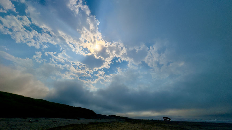


I had never seen such dense forests while hiking before. There had always been, a well defined trail. Tillamook Head was an entirely different beast. The trail had branches that went off in different directions every few hundred feet, while at some points the trail seemed to disappear, even GPS maps wasnt very helpfull. At one point we realized we were a ways off the correct trail to the spot wher we wanted to camp. So, we had to bushwack through the forrest till we found the right trail. While an adventure, it made the day go by quicker. The sunlight breaking through the old growth forrest was a welcome site for the almost tropical weather.


THE NEXT MORNING AFTER A GOOD NIGHT SLEEP, AND SOME HOT BREAKFAST, WE WALKED THROUGH SEASIDE - APPARTENTLY THERE WAS A DAUSCHOUND CONVENTION GOING ON - WE GOT TO THE TRAIL FOR TILLAMOOK HEAD. THIS WAS A HIKE UP ALMOST 1400 FEET, THROUGH SOME OF THE BEST SCENERY AND TREES OF THE JOURNEY. WE ALSO NOTICED AT THE TRAILHEAD THAT WE ALL HAD THE SAME BACKPACK, JUST DIFFERENT COLORS.
When we finally got to the campsite, it was a welcome site to see that we would have hard sided buildings to sleep in, so the wildlife wasn't much of an issue. There was a fire ring with dry wood stacks nearby. After setting up the sleeping area, we got a fire going and were joined by a few other campers that night. Surprisingly one of the hikers, was the same one we saw the previous day sleeping against some driftwood by the Peter Iredale wreck, she would become know to us as Broccoli. It was at this site that we got out hiker names. Lore, Towellie, and myself Gadget.

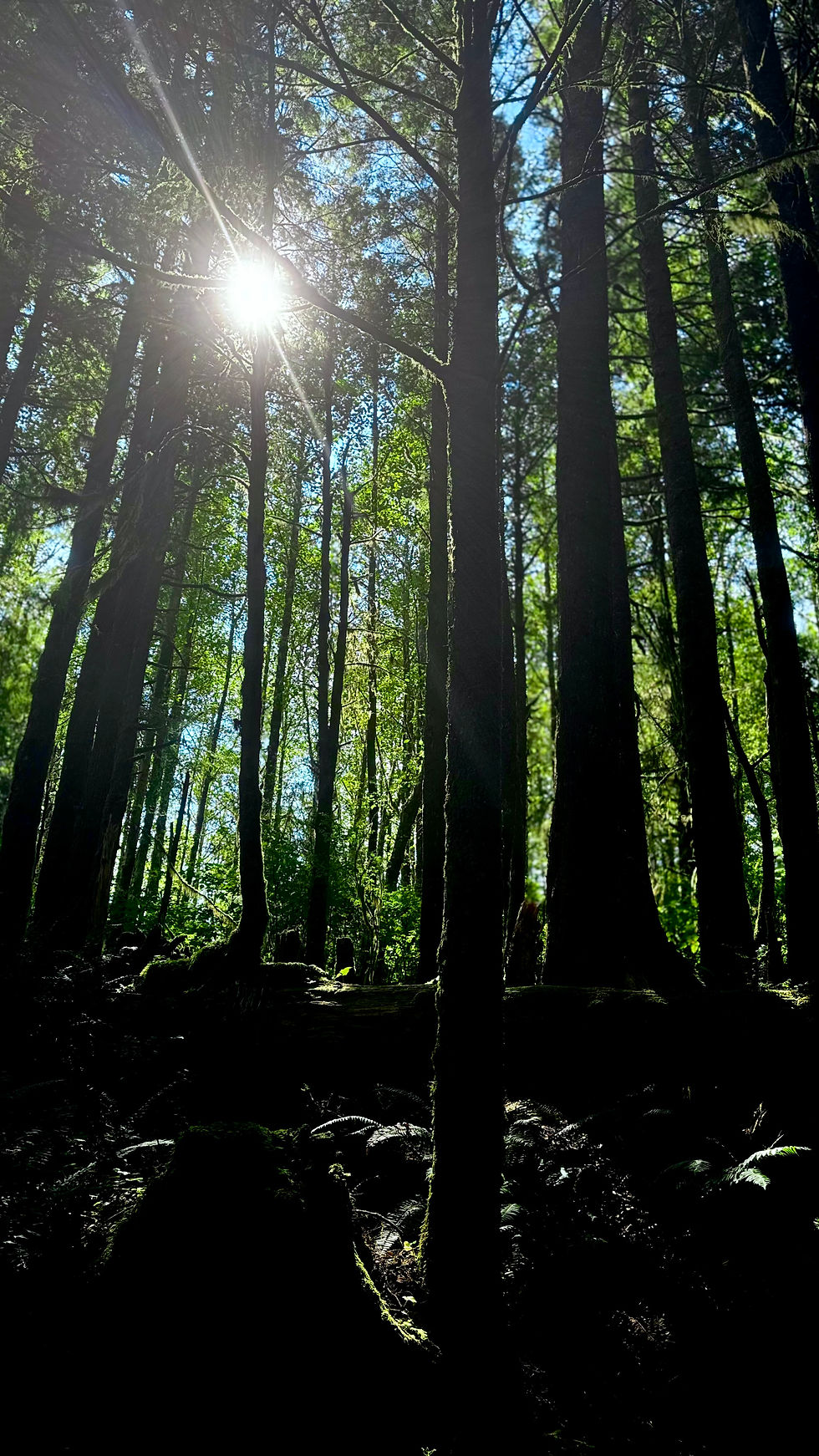


During the night, we decided to explore the path from the camp site, out the viewpoing of Tillamook Head Lighthouse. There were abandoned military buildings from WW2 along the way, but were locked with iron gates. Inside we could see large spider / cricket creatures, so decided after a slippery close call not to explore inside. After a warm nights sleep. We packed up camp, said good by to Broccoli, and the other hikers who had stayed the night and headed further south to the next site.


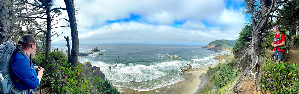
The trail from Tillamook Head to Ecola State Park was a fairly short and easy trail. This is where we started picking up crowds visiting the beaches for the day. There were many sites to see, including famous places from film. After a short break we continnued on down towards Cannon Beach.
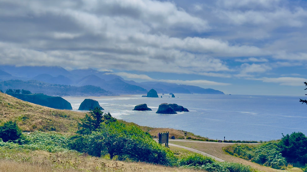
Cannon Beach, easily the most popular tourist destination of the northrn Oregon section of the coast. We stopped at a local brewery for a nice cold beer, and a bite to eat. After playing tourist (we have all been here to many times to count), we headed down to beach to fnd a place to setup our tents for the night.

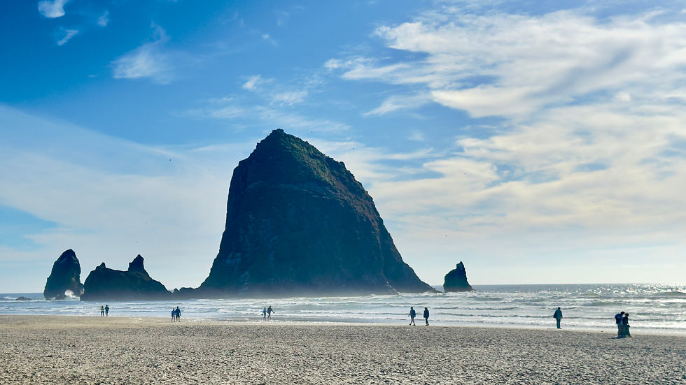
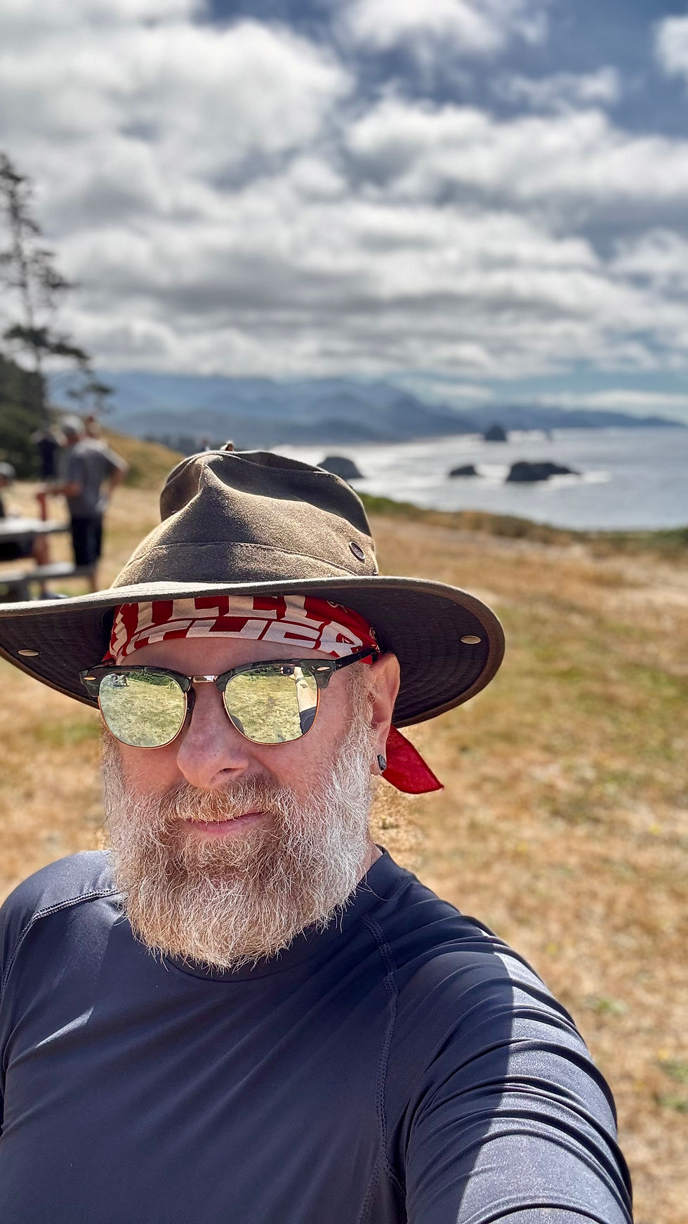
We setup our tents right on the beach, behind a large piece of driftwood for a wind break. The sunset over the ocean, behind haystack rock was truly breathtaking. The three of us went through a bottle of rum, because what else would one drink on the ocean, plus we didn't want to pack a full bottle to the next campsite. At night we walked during low tide to haystack rock, was erie walking on the ocean the sound of the waves but couldn't see them. Of course after we setup camp, we meet up with Broccoli again and she camped a bit further up the way.


The next day, we continued the trek down the coast towards Manzanita and Nehalam bay. At Hug point, we had to time correctly for low tide to pass, we made a detour to the highway. After a brief walk down Highway 101, we decided to hitch hike around Neahkahnie Mountain to Manzanita. In Manzanita we stopped at Nehalem Bay State Park for a full rest day. One more day of hiking to finish out the first two sections of the Oregon Coast Trail.
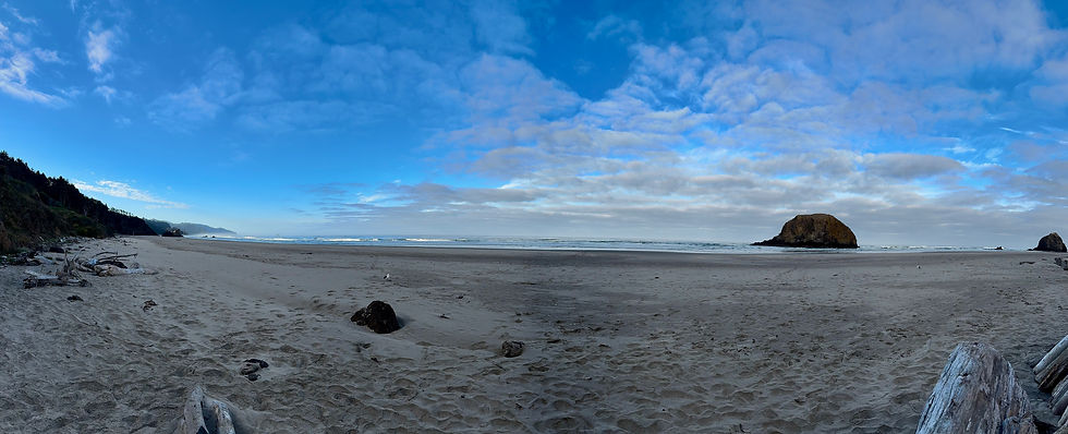
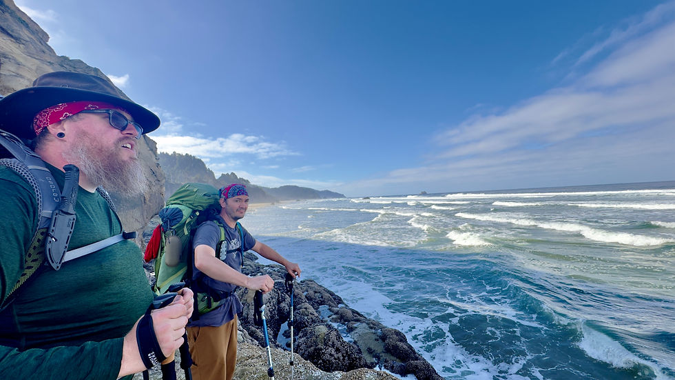

After a full day in Manzanita, we started the hike from Nehalem Bay State Park, to the edge of the bay. This area of the coast has a lot of sand dunes, this made the walking a bit more difficult. Once we go to the bay, we caught a boat ride across the ismuth of the bay. The ride dropped us off at the Jetty Fisheries. There they have fresh clams, oysters, and fish. We stopped for a bite to eat, and again ran into Broccoli again.
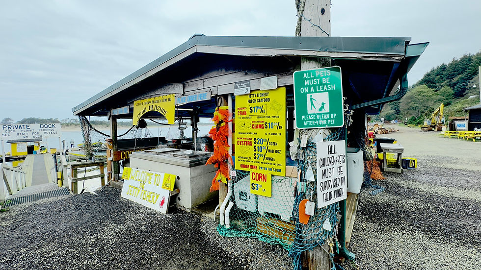


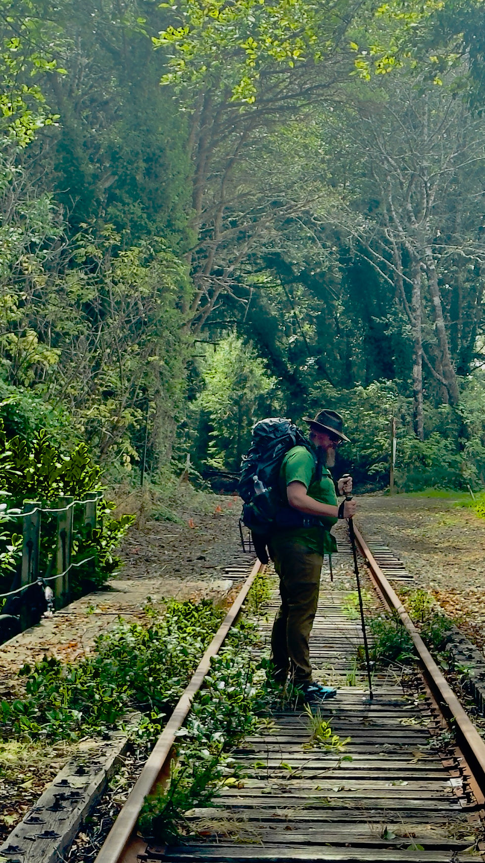
After we stopped for food, we continued down the beach, following the railroad tracks. Once we reached a bit north of Rockaway Beach, we were back on the sand. We passed the beach house we would be staying at, with friends for a birthday celebration. We continued down to Barview Jetty just outside Garibaldi, where we would camp for the final night of the trip.


Waves between Fort Stevens & Seaside
Looking down on Seaside from Tillamook Head.
Hiking up Tillamook Head


Tillamook Head Lighthouse
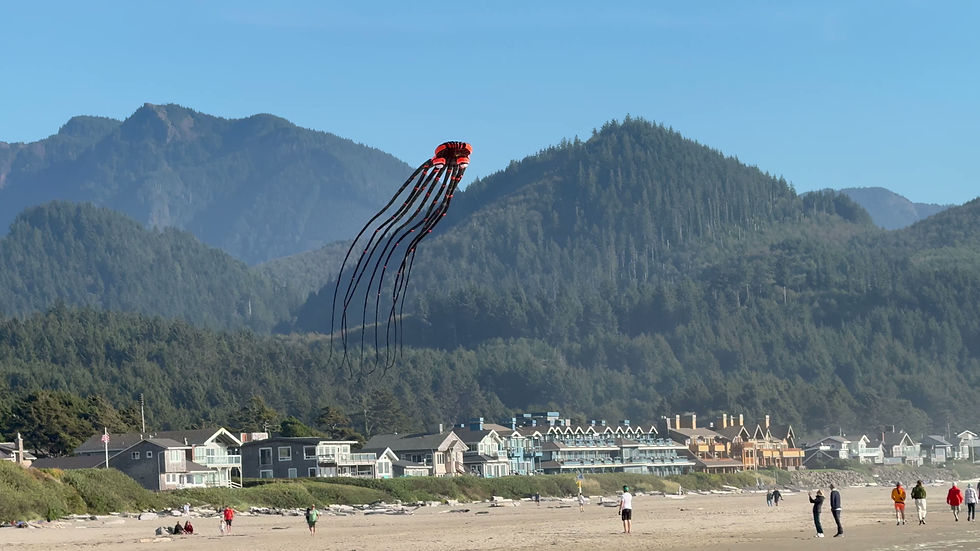
Kite flying outside of Cannon Beach

Bridge into Indian Point Beach
Kite flying outside of Cannon Beach


Hug Point Waves
Hiking on Railroad tracks.

Hiking along Rockaway Beach